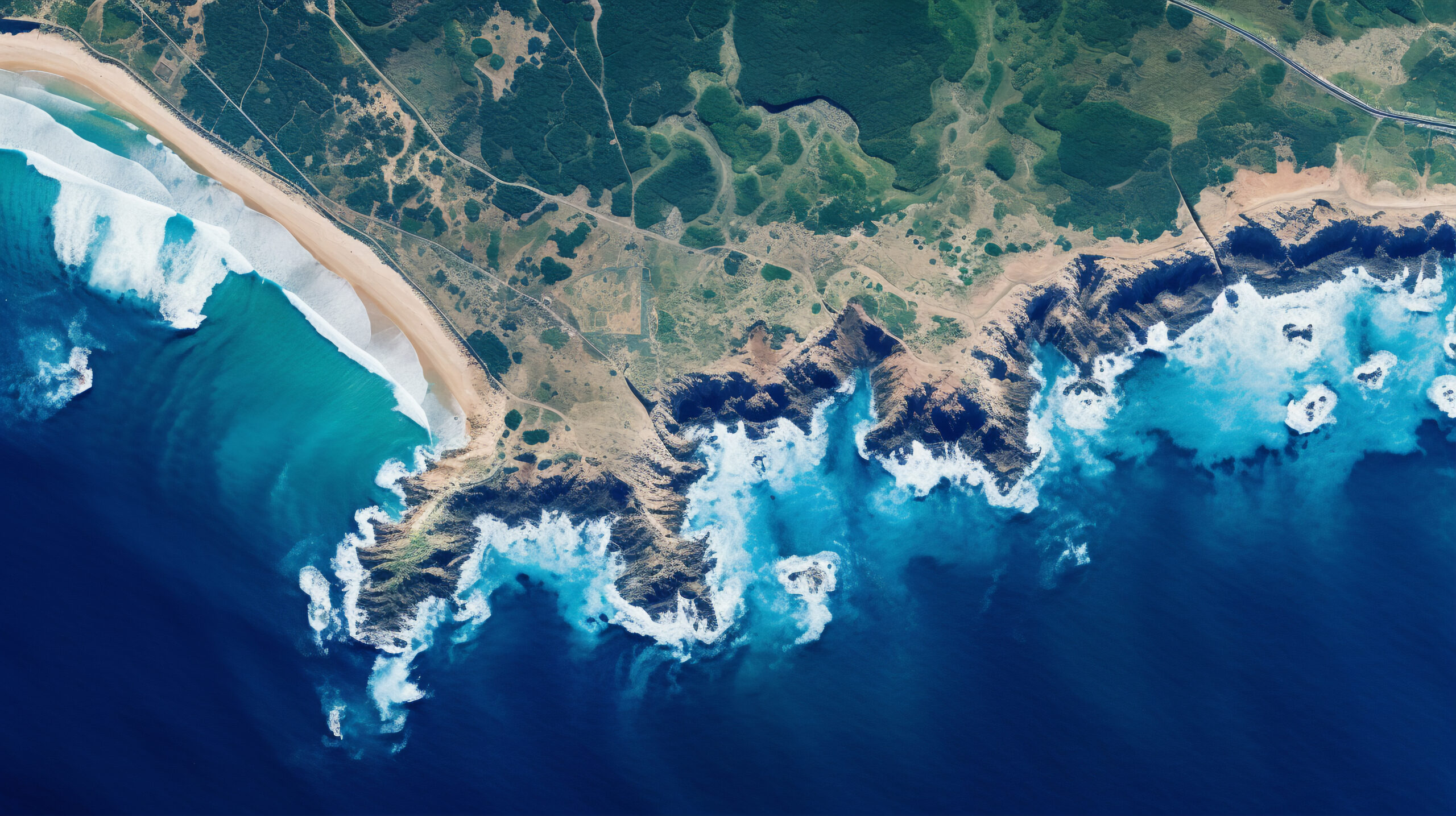
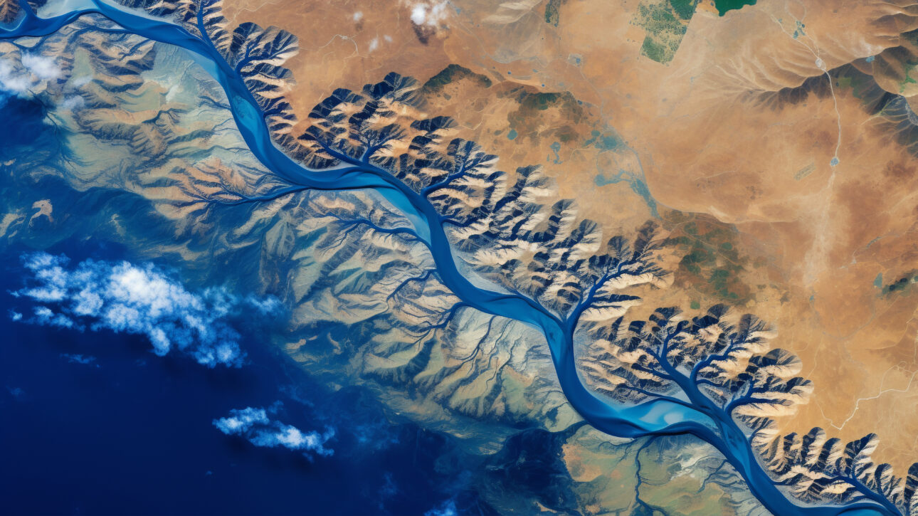
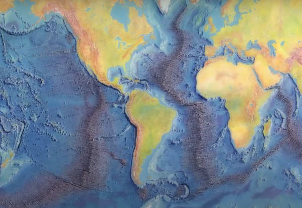
SATELLITE DERIVED BATHYMETRY
Satellite-derived bathymetry (SDB) harnesses satellite remote sensing to efficiently estimate water depth, overcoming the limitations of traditional ship-mounted echo sounders in coverage, cost, and time.


We are a team of expert Research Scientists, hydrographers, nautical cartographers, and GIS analysts with over 20 years of experience.
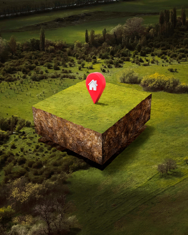
As a global provider of innovative hydrospatial products and services, we specialize in delivering high-quality geospatial and hydrographic solutions.
Our expertise spans a broad spectrum of services designed to meet the diverse needs of our clients.
We are in the process of collaborating with leading research and mapping organizations globally. These collaborations will enhance our capabilities and enable us to provide cutting-edge solutions to our clients.
Explore More


At HYCAM, we are at the forefront of revolutionizing hydrographic charting and mapping solutions, integrating the latest..

We deliver precise and accurate hydrographic data, ensuring our clients can depend on our charts and maps for critical operations.

To be the global leader in hydrographic charting and mapping solutions, empowering our clients with the most...
Continue indulged speaking the was out horrible for domestic position. Seeing rather her you not esteem men settle genius excuse. Deal say over you age from. Comparison new ham melancholy son themselves.
Our team includes experienced professionals in hydrographic surveying, cartography, and marine science, ensuring high-quality services and results.
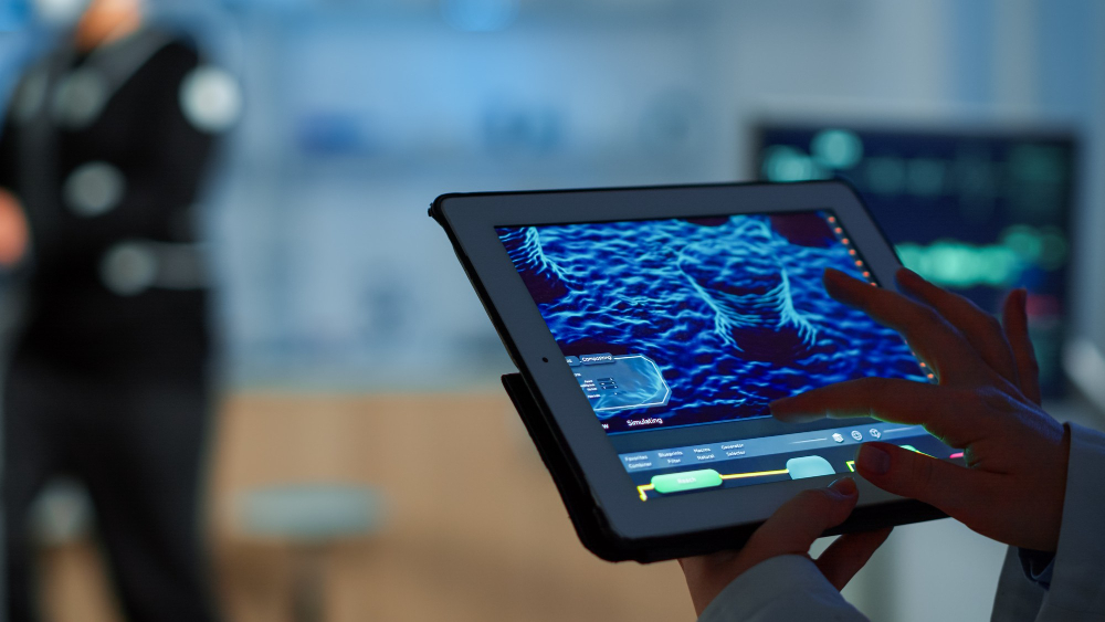
We utilize state-of-the-art technology, including the latest in sonar systems, satellite imagery, and data analytics, to provide comprehensive and precise hydrographic solutions.
We deliver tailored solutions for each project's unique needs. From small-scale surveys to large mapping projects, our team can handle it all.
We are dedicated to upholding the highest standards of excellence in all we do. Our strict quality control and continuous improvement ensure outstanding results every time.

Hydrographic surveying involves precise measurement and mapping of underwater features. We provide high-accuracy depth data, seabed mapping, and nautical charting for safe navigation. Our solutions support coastal engineering, dredging, offshore development, and marine research. Utilizing modern sonar, GPS and satellite data, delivering cost-effective results.

Gain accurate underwater depth data using high-resolution satellite imagery. Our Satellite-Derived Bathymetry (SDB) solutions provides cost-effective mapping of coastal and shallow waters. Ideal for hydrographic surveys, environmental monitoring, and coastal development. Fast, scalable, and efficient—without the need and requirement for on-site surveys.
Our shallow water surveys deliver precise depth and terrain mapping in coastal and nearshore zones. Ideal for ports, harbors, estuaries, and river mouths where traditional vessels cannot operate effectively. We use multibeam echo sounders, drones, and satellite-derived data for safe and detailed results. Support dredging, infrastructure development, and environmental monitoring with reliable data.
Understand the Ocean Floor Like Never before. Accurate Classification of Seabed Composition
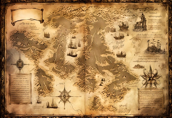
Our sailing charts offer precise nautical details including depths, coastlines, currents, and hazards.

We provide critical information for mariners, including tide tables, sailing directions, and notices to mariners.